Eyes in the skies: using drone data for exposure management
Forbes McKenzie, Founder and CEO of McKenzie Intelligence Services, spells out why MIS is investing in expanding its drone imagery and intelligence capabilities in 2021.
Big problems get smaller from a bird’s eye view – so the saying goes. And as the commercial drone market continues to expand and mature rapidly, so too does our ability to gain an unparalleled perspective on some of the biggest challenges facing societies and businesses.
Harnessing data and insights gathered from drone imagery and sensor information can offer our clients sophisticated intelligence that can be further augmented by other data sources such as aerial, satellite or geospatial imagery.
From regular crop health surveys to urban infrastructure management, and assessing the impact of a man-made or natural catastrophe or unfolding political unrest, drone data can help businesses make informed, real-time decisions about their next move in often fast-paced situations.
Fast deployment, real-time results
Drone fleets can be deployed within hours of an event unfolding, delivering highly accurate, first rate quality data extremely efficiently and effectively and at far lower operational risk compared to deploying a physical human presence on the ground.
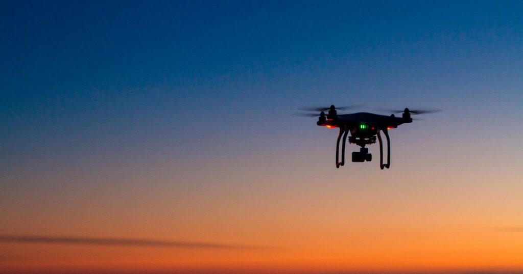
They can fly within visual lines of sight (400 ft above ground level), closer to ground level and at very low speeds (upto 100 mph) and can be equipped with advanced tools above and beyond high detail cameras including infrared cameras, license-plate readers, and laser radar sensors to assess environmental conditions.
The data that drones capture is more advanced than in the past, and this advancement continues to grow exponentially with every new generation of commercial drone.
Integrating drone data into processes
Insurance is among the many industries harnessing the potential of commercial drones for better exposure and claims management. Within hours of an event, we use drone imagery combined with other highly sophisticated sources to produce an incredibly accurate damage and functionality assessment at individual property level, allowing clients to review comparison imagery for themselves.
Advanced machine learning techniques enable us to deliver to clients their likely financial exposure for the event both in the aggregate and at individual location level, with results that are up to 93% more accurate against traditional catastrophe models.
Claims triage and first notification of loss processes are based on fact, not ambiguity, and can lead to a 40% improvement in claims lifecycle in addition to potential reductions in reserving.
As well as cost effective claims handling benefits that can improve bottom line performance by up to 2%, most importantly carriers, TPAs and brokers can efficiently service their policyholders when they need it the most.
Exposure data within hours
For instance, cutting edge drone data helped MIS clients pay 2020 Californian wildfire losses in real time. We used our global network of drone pilots to obtain ultra high resolution, targeted imagery of the sites in question and deliver highly accurate visual information to our clients via our easy to use MIS Intel system.
The result was that during the 2020 wildfire season we enabled several insurers to pay total loss claims within days of the event, whilst the fires were still burning. Our clients were able to save $000’s in loss adjusting fees as well as deliver a world beating policyholder service which was of great comfort and support to their customers.
We are adding to our drone capability significantly in 2021 – watch this space for further details.